
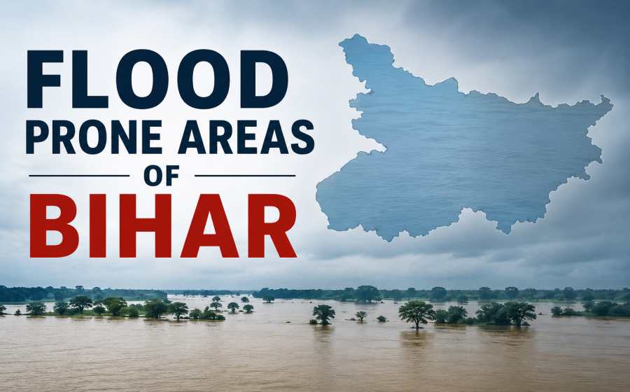
Flood Prone Areas of Bihar – Causes, Challenges and Effective Solutions
Learn about the Flood Prone Areas of Bihar, their major causes, affected districts, impacts and practical solutions for flood management and disaster reduction.
Flood Prone Areas of Bihar
Bihar is one of the most flood-prone states in India. Every year, millions of people are affected by floods during the monsoon season. The state’s unique geographical location, numerous Himalayan rivers, and low-lying plains make it highly vulnerable to flooding. Floods not only damage crops and property but also affect transportation, education, healthcare, and the overall economy of the state.
Floods have become a recurring natural disaster in Bihar, especially in the northern districts. Understanding the reasons behind these floods, identifying the most affected areas, and adopting effective flood management measures are essential for reducing losses and protecting lives.
Table of Contents
Why is Bihar So Prone to Floods?
Several natural and human-made factors contribute to the frequent flooding in Bihar.
1. Himalayan Rivers
Most of Bihar’s major rivers, such as the Kosi, Gandak, Bagmati, Kamla, and Mahananda, originate in the Himalayas. During heavy rainfall in Nepal and nearby mountainous regions, these rivers carry enormous volumes of water into Bihar, causing widespread flooding.
2. Heavy Monsoon Rainfall
The southwest monsoon brings intense rainfall from June to September. Continuous heavy rain increases river discharge beyond their carrying capacity, leading to overflow.
3. Flat Topography
Northern Bihar consists mainly of flat alluvial plains with very little slope. Water flows slowly and remains stagnant for long periods, increasing flood severity.
4. Silt Deposition
Himalayan rivers carry large amounts of sediments. These sediments settle in riverbeds, reducing their depth and water-carrying capacity. As a result, rivers overflow more easily.
5. Frequent Change in River Courses
Some rivers, especially the Kosi, are known for changing their course over time. This shifting damages embankments and exposes new areas to flooding.
6. Poor Drainage System
Many regions lack efficient drainage channels. Rainwater accumulates in villages and agricultural fields, causing prolonged waterlogging.
7. Human Activities
Deforestation, illegal encroachments on riverbanks, blocked natural drainage, and unplanned urban development have increased flood risks across the state.
Major Flood Prone Areas of Bihar
Floods mainly affect northern and northeastern Bihar because most Himalayan rivers enter the state through this region.
Highly Flood-Prone Districts
- Supaul
- Saharsa
- Madhepura
- Araria
- Kishanganj
- Purnia
- Katihar
- Darbhanga
- Madhubani
- Sitamarhi
- Sheohar
- Muzaffarpur
- East Champaran
- West Champaran
- Khagaria
- Samastipur
- Begusarai
These districts experience floods almost every year due to overflowing rivers.
Important Rivers Responsible for Flooding
Kosi River
Known as the “Sorrow of Bihar,” the Kosi River is one of the most destructive rivers in the state. Its frequent course changes and heavy sediment load make it highly dangerous.
Gandak River
Flowing from Nepal into Bihar, the Gandak often floods nearby districts during heavy rainfall.
Bagmati River
The Bagmati regularly causes floods in districts such as Sitamarhi, Darbhanga, and Muzaffarpur.
Kamla River
The Kamla River contributes to flooding in Madhubani and Darbhanga.
Mahananda River
The Mahananda affects northeastern Bihar, particularly Kishanganj, Katihar, and Purnia.
Ganga River
Although the Ganga receives water from many tributaries, rising water levels during the monsoon can flood several districts along its banks.
Effects of Floods in Bihar
Floods have serious social, economic, and environmental consequences.
Agricultural Losses
Thousands of hectares of farmland remain submerged every year. Standing crops such as paddy, maize, and vegetables are destroyed, affecting farmers’ incomes.
Damage to Infrastructure
Floodwaters damage roads, bridges, schools, hospitals, railways, and electricity infrastructure, disrupting normal life.
Displacement of People
Lakhs of families are forced to leave their homes and move to temporary relief camps.
Health Problems
Floods increase the spread of waterborne diseases such as cholera, diarrhoea, typhoid, malaria, and dengue due to contaminated water and poor sanitation.
Educational Disruption
Schools are often converted into relief camps, interrupting education for weeks or even months.
Economic Losses
Floods reduce productivity, damage businesses, and require large expenditures for relief and rehabilitation.
Flood Management Measures in Bihar
The Bihar Government and the Central Government have implemented several flood management initiatives.
Construction of Embankments
Thousands of kilometres of embankments have been built along major rivers to prevent overflowing.
River Monitoring
Water levels are continuously monitored, especially during the monsoon, to provide timely warnings.
Early Warning Systems
Weather forecasting and flood alerts help residents evacuate before floodwaters arrive.
Disaster Relief Camps
Temporary shelters provide food, drinking water, medical assistance, and sanitation facilities to affected people.
Rescue Operations
Teams from the National Disaster Response Force (NDRF), State Disaster Response Force (SDRF), and local administration conduct rescue and relief operations during floods.
Long-Term Solutions to Flood Problems
While emergency measures are necessary, long-term planning is equally important.
Better River Management
Regular desilting and scientific river management can improve water flow and reduce overflow.
Improved Drainage Networks
Developing modern drainage systems will help remove excess rainwater quickly.
Afforestation
Planting more trees in river catchment areas reduces soil erosion and slows surface runoff.
Strong Embankment Maintenance
Existing embankments should be regularly inspected, strengthened, and repaired before every monsoon.
Better Coordination with Nepal
Since many rivers originate in Nepal, effective cooperation in dam management, water sharing, and flood forecasting is essential.
Flood-Resistant Infrastructure
Roads, bridges, schools, and public buildings should be designed to withstand flooding.
Public Awareness
Educating communities about flood preparedness, evacuation routes, emergency kits, and disaster response can save lives.
Importance of Flood Preparedness
Preparedness plays a crucial role in reducing flood damage. Communities should:
- Follow weather and flood alerts.
- Keep emergency supplies ready.
- Store important documents safely.
- Avoid crossing flooded roads and rivers.
- Move to higher ground when instructed.
- Cooperate with local authorities during evacuation.
Proper planning and community participation significantly reduce disaster risks.
Summary
Floods remain one of Bihar’s biggest natural challenges, particularly in its northern districts. The combination of Himalayan rivers, heavy monsoon rainfall, flat terrain, and sediment deposition makes the state highly susceptible to annual flooding. Although floods cannot be completely prevented, scientific river management, improved drainage systems, stronger embankments, afforestation, early warning systems, and public awareness can greatly reduce their impact. With sustained government efforts and active community participation, Bihar can build greater resilience against floods while protecting lives, livelihoods, and infrastructure for future generations.
Also Check: Bihar GK