Bihar Map – Districts, Rivers and State Boundaries
Explore Bihar Map Study with details about its districts, major rivers, neighboring boundaries and geographical importance for Bihar GK preparation.
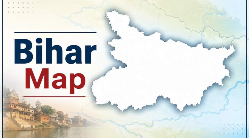
Bihar Map
Understanding the map of Bihar is an important part of Bihar General Knowledge. Questions related to Bihar’s districts, major rivers, neighboring states, and international boundaries frequently appear in competitive examinations such as BPSC, Bihar Police, BTSC, SSC, Railways, and other state-level tests. A clear knowledge of Bihar’s geographical layout also helps students understand the state’s culture, economy, agriculture, and administrative structure. This article provides a simple and comprehensive study of the Bihar map, covering its districts, rivers, and boundaries.
Table of Contents
Introduction to Bihar’s Geographical Location
Bihar is located in the eastern part of India. It is one of the country’s most historically significant states and is known for its rich cultural heritage. The state covers an area of approximately 94,163 square kilometres, making it one of the medium-sized states in India.
The capital of Bihar is Patna, situated on the southern bank of the River Ganga. Bihar lies between the fertile Gangetic plains, making agriculture the backbone of its economy.
Geographical Coordinates of Bihar
- Latitude: Approximately 24°20’N to 27°31’N
- Longitude: Approximately 83°19’E to 88°17’E
These coordinates place Bihar in the subtropical region of northern India.
Administrative Divisions of Bihar
Bihar is divided into 38 districts, which are grouped under several administrative divisions. Understanding the district map is essential for Bihar GK examinations.
List of Bihar’s 38 Districts
- Araria
- Arwal
- Aurangabad
- Banka
- Begusarai
- Bhagalpur
- Bhojpur
- Buxar
- Darbhanga
- East Champaran
- Gaya
- Gopalganj
- Jamui
- Jehanabad
- Kaimur
- Katihar
- Khagaria
- Kishanganj
- Lakhisarai
- Madhepura
- Madhubani
- Munger
- Muzaffarpur
- Nalanda
- Nawada
- Patna
- Purnia
- Rohtas
- Saharsa
- Samastipur
- Saran
- Sheikhpura
- Sheohar
- Sitamarhi
- Siwan
- Supaul
- Vaishali
- West Champaran
Largest and Smallest Districts
- Largest District (Area): West Champaran
- Smallest District (Area): Sheohar
- Most Populous District: Patna
- Least Populous District: Sheikhpura (among the smaller population districts)
Memorizing these facts is useful for objective examinations.
Major Rivers of Bihar
Bihar is often called the “Land of Rivers” because many rivers flow through the state. These rivers play a vital role in agriculture, transportation, and the ecology of Bihar.
1. The Ganga River
The Ganga is the most important river in Bihar. It flows from west to east through the central part of the state and divides Bihar into northern and southern regions.
Major cities situated along the Ganga include:
- Buxar
- Patna
- Munger
- Bhagalpur
The river provides fertile alluvial soil but also contributes to seasonal flooding.
2. Kosi River
The Kosi River is known as the “Sorrow of Bihar” because of its frequent changes in course and devastating floods.
It mainly affects districts such as:
- Supaul
- Saharsa
- Madhepura
- Khagaria
3. Gandak River
Originating in the Himalayas, the Gandak enters Bihar from Nepal and joins the Ganga.
It influences districts including:
- West Champaran
- East Champaran
- Gopalganj
- Saran
4. Bagmati River
The Bagmati enters Bihar from Nepal and often causes floods in the northern districts.
Important districts include:
- Sitamarhi
- Muzaffarpur
- Darbhanga
5. Son River
The Son River is one of Bihar’s major southern rivers. It originates in central India and joins the Ganga near Patna.
It benefits irrigation in several districts.
Other Important Rivers
- Punpun River
- Kamla River
- Mahananda River
- Falgu River
- Burhi Gandak River
- Kiul River
These rivers collectively shape Bihar’s geography and agricultural productivity.
Boundaries of Bihar
Knowledge of Bihar’s boundaries is a frequently asked topic in Bihar GK examinations.
Northern Boundary
Bihar shares an international boundary with Nepal in the north.
Districts bordering Nepal include:
- West Champaran
- East Champaran
- Sitamarhi
- Madhubani
- Supaul
- Araria
- Kishanganj
This international border contributes to trade and cultural exchanges.
Southern Boundary
To the south, Bihar shares its boundary with the state of Jharkhand.
Several southern districts connect with Jharkhand, including:
- Gaya
- Nawada
- Jamui
- Banka
- Aurangabad
Eastern Boundary
The eastern side of Bihar borders West Bengal.
Districts such as Kishanganj and Katihar are located near this boundary.
Western Boundary
To the west, Bihar shares boundaries with Uttar Pradesh.
Districts including Buxar, Bhojpur, and West Champaran are situated near the western border.
Summary
The map of Bihar provides valuable insights into the state’s geography, administration, and natural resources. From its 38 districts to its life-giving rivers and strategic boundaries, every aspect of Bihar’s map holds significance for students and competitive exam aspirants. A thorough understanding of Bihar’s districts, rivers, and neighboring regions not only improves general awareness but also increases confidence while attempting Bihar GK questions. Regular practice with a physical or political map of Bihar can make this knowledge even more effective and long-lasting.
Also Check: Bihar Gk
![]()